Last Updated:
2025-Q2
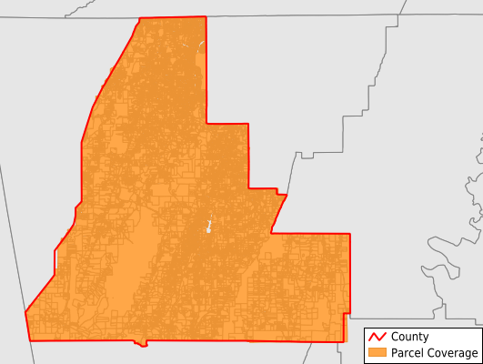
Parcels in County:
34,929
Parcel data available to download as a GDB, GeoPackage, Shapefile, Excel, CSV, or Google Earth KML file.
All purchased data comes with six months of access, including any updates, at no additional cost.
Key attribute coverage for Walker County
The percentage of Walker County parcels containing the following key attributes:
Owner: 99.5%
Parcel Number: 100%
Acreage (Calculated): 100%
Site Address: 100%
Mailing Address: 99.3%
All available attributes in Walker County
Parcel Number
Site Address
Owner
Transfer Date
Neighborhood Code
Zoning
Acreage (deeded)
Acreage (calculated)
Perimeter
Municipality
School District
Zip Code
Flood Zone
Flood Zone Subtype
Census Tract
Census Block Group
Census Block
Total Market Value
Mail Address1
Mail Address2
Mail Address3
Legal Desc1
Water
Sewer
Place Gnis Code
Land Cover
Elevation
Owner Occupied
Robust Id
Usps Residential
Crop Cover
Acreage Adjacent With Sameowner
Municipalities Respresented in Walker County
Chattanooga Valley CCD: 5,003
Chickamauga CCD: 7,052
Lookout Mountain CCD: 1,709
Kensington CCD: 2,395
LaFayette CCD: 8,971
Rock Spring CCD: 3,292
Rossville-Beverly Hills CCD: 5,114
Villanow CCD: 1,393
Save money when you buy data in bulk
We offer discounted pricing on county and state downloads.