Last Updated:
2025-Q2
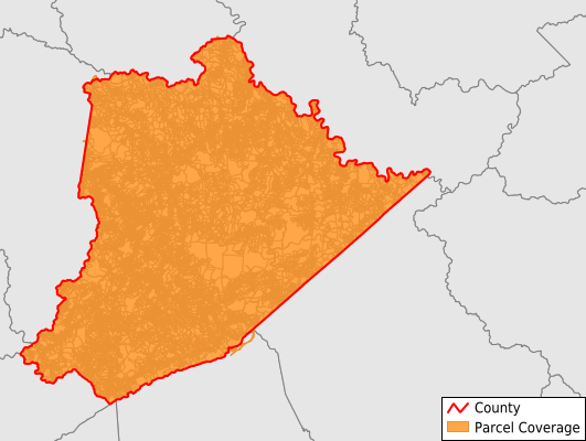
Parcels in County:
42,493
Parcel data available to download as a GDB, GeoPackage, Shapefile, Excel, CSV, or Google Earth KML file.
All purchased data comes with six months of access, including any updates, at no additional cost.
Key attribute coverage for Pike County
The percentage of Pike County parcels containing the following key attributes:
Owner: 86%
Parcel Number: 99.2%
Acreage (Calculated): 100%
Site Address: 100%
Mailing Address: 85.2%
All available attributes in Pike County
Parcel Number
Site Address
Owner
Transfer Date
Sale Price
Land Use Code
Land Use Class
Acreage (deeded)
Acreage (calculated)
Perimeter
Municipality
School District
Zip Code
Flood Zone
Flood Zone Subtype
Census Tract
Census Block Group
Census Block
Map Book
Map Page
Coowner
Mail Address1
Mail Address3
Legal Desc1
Addr Sec Unit Num
Place Gnis Code
Land Cover
Elevation
Owner Occupied
Robust Id
Usps Residential
Crop Cover
Acreage Adjacent With Sameowner
Municipalities Respresented in Pike County
Ashcamp CCD: 1,240
Dorton CCD: 2,230
Elkhorn City CCD: 2,780
Fedscreek CCD: 2,271
Hellier CCD: 1,574
Long Fork CCD: 1,731
McCarr CCD: 1,341
Mayflower CCD: 2,515
Millard CCD: 2,956
Phelps CCD: 3,428
Pikeville CCD: 8,385
Raccoon CCD: 2,722
Robinson Creek CCD: 1,941
Sidney CCD: 2,151
South Williamson CCD: 5,225
Save money when you buy data in bulk
We offer discounted pricing on county and state downloads.