Last Updated:
2025-Q1
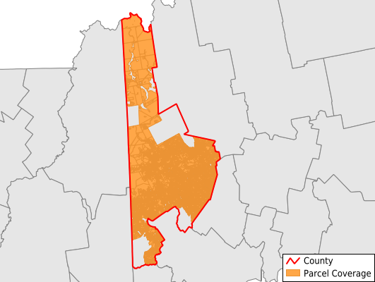
Parcels in County:
42,555
Parcel data available to download as a GDB, GeoPackage, Shapefile, Excel, CSV, or Google Earth KML file.
All purchased data comes with six months of access, including any updates, at no additional cost.
Key attribute coverage for Oxford County
The percentage of Oxford County parcels containing the following key attributes:
Owner: 55.6%
Parcel Number: 100%
Acreage (Calculated): 100%
Site Address: 100%
Mailing Address: 55.5%
All available attributes in Oxford County
Parcel Number
Site Address
Owner
Transfer Date
Sale Price
Acreage (calculated)
Perimeter
Municipality
School District
Zip Code
Flood Zone
Flood Zone Subtype
Census Tract
Census Block Group
Census Block
Total Market Value
Land Market Value
Building Market Value
Map Book
Map Page
Mail Address1
Mail Address2
Mail Address3
Addr Sec Unit Num
Place Gnis Code
Land Cover
Elevation
Owner Occupied
Robust Id
Usps Residential
Alt Id 1
Crop Cover
Acreage Adjacent With Sameowner
Municipalities Respresented in Oxford County
West Paris Town: 1,125
Gilead Town: 308
North Oxford UT: 458
Hartford Town: 1,204
Dixfield Town: 1,540
Lincoln Plantation: 217
Lovell Town: 1,925
Norway Town: 3,115
Roxbury Town: 0
Mexico Town: 0
Otisfield Town: 2
Sumner Town: 950
Woodstock Town: 1,628
Brownfield Town: 10
Hebron Town: 779
Buckfield Town: 1,296
Sweden Town: 692
Bethel Town: 2,850
Denmark Town: 1,773
Stoneham Town: 534
South Oxford UT: 1,092
Andover Town: 0
Newry Town: 1,436
Stow Town: 549
Porter Town: 2
Fryeburg Town: 2,682
Byron Town: 0
Hiram Town: 1,481
Milton UT: 228
Waterford Town: 1,829
Oxford Town: 2,535
Paris Town: 2,785
Upton Town: 0
Greenwood Town: 1,372
Magalloway Plantation: 144
Peru Town: 1,433
Rumford Town: 3,280
Hanover Town: 387
Canton Town: 914
Save money when you buy data in bulk
We offer discounted pricing on county and state downloads.