Last Updated:
2024-Q4
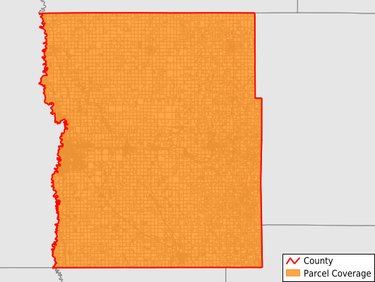
Parcels in County:
31,120
Parcel data available to download as a GDB, GeoPackage, Shapefile, Excel, CSV, or Google Earth KML file.
All purchased data comes with six months of access, including any updates, at no additional cost.
Key attribute coverage for Clay County
The percentage of Clay County parcels containing the following key attributes:
Owner: 96%
Parcel Number: 98.6%
Acreage (Calculated): 100%
Site Address: 80.5%
Mailing Address: 96%
All available attributes in Clay County
Parcel Number
Site Address
Owner
Acreage (deeded)
Acreage (calculated)
Perimeter
Municipality
School District
Zip Code
Flood Zone
Flood Zone Subtype
Census Tract
Census Block Group
Census Block
Mail Address1
Mail Address3
Legal Desc1
Year Built
Net Tax
Buildings
Place Gnis Code
Land Cover
Elevation
Owner Occupied
Robust Id
Usps Residential
Alt Id 1
Plss Description
Plss Township
Plss Range
Plss Section
Crop Cover
Acreage Adjacent With Sameowner
Municipalities Respresented in Clay County
Felton City: 152
Hitterdal City: 196
Barnesville City: 1,622
Ulen Township: 271
Comstock City: 97
Highland Grove Township: 364
Oakport Township: 411
Alliance Township: 322
Cromwell Township: 323
Skree Township: 237
Glyndon City: 720
Moorhead City: 15,021
Spring Prairie Township: 243
Kragnes Township: 351
Kurtz Township: 349
Humboldt Township: 318
Moorhead Township: 196
Hagen Township: 209
Barnesville Township: 311
Riverton Township: 379
Moland Township: 380
Keene Township: 201
Goose Prairie Township: 261
Felton Township: 207
Flowing Township: 205
Viding Township: 188
Georgetown Township: 267
Elmwood Township: 372
Ulen City: 414
Morken Township: 234
Hawley City: 1,169
Holy Cross Township: 277
Eglon Township: 586
Dilworth City: 1,738
Glyndon Township: 336
Elkton Township: 356
Hawley Township: 452
Sabin City: 267
Parke Township: 623
Tansem Township: 376
Georgetown City: 119
Save money when you buy data in bulk
We offer discounted pricing on county and state downloads.