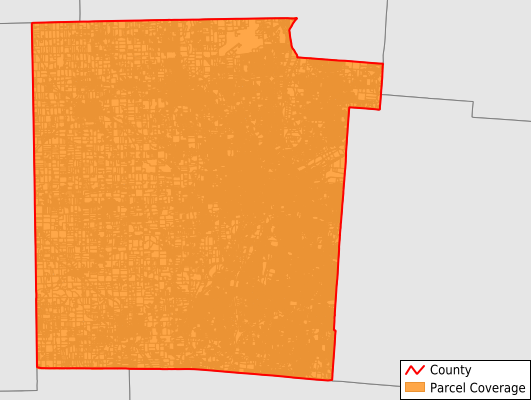
Montgomery County
Parcel Data
Price: $200.00
Last Updated:
2024-Q4
Parcels in County:
273,534
Parcel data available to download as a GDB, GeoPackage, Shapefile, Excel, CSV, or Google Earth KML file.
All purchased data comes with six months of access, including any updates, at no additional cost.
Key attribute coverage for Montgomery County
The percentage of Montgomery County parcels containing the following key attributes:
Owner: 91%
Parcel Number: 100%
Acreage (Calculated): 100%
Site Address: 99.8%
Mailing Address: 90%
All available attributes in Montgomery County
Parcel Number
Site Address
Owner
Transfer Date
Sale Price
Building Size
Neighborhood Code
Land Use Code
Land Use Class
Acreage (calculated)
Perimeter
Municipality
School District
Zip Code
Flood Zone
Flood Zone Subtype
Census Tract
Census Block Group
Census Block
Mail Name
Mail Address1
Mail Address2
Mail Address3
Legal Desc1
Legal Desc2
Legal Desc3
Buildings
Addr Sec Unit Num
Place Gnis Code
Land Cover
Elevation
Owner Occupied
Robust Id
Usps Residential
Plss Description
Plss Township
Plss Range
Crop Cover
Acreage Adjacent With Sameowner
Municipalities Respresented in Montgomery County
Dayton City: 87,108
Butler Township: 4,592
Clay Township: 5,012
German Township: 5,049
Harrison Township: 12,884
Huber Heights City: 16,849
Jackson Township: 3,402
Jefferson Township: 5,155
Kettering City: 23,956
Miami Township: 21,060
Moraine City: 4,156
Oakwood City: 4,721
Perry Township: 3,470
Vandalia City: 6,552
Washington Township: 26,953
West Carrollton City: 5,415
Englewood City: 5,926
Trotwood City: 12,097
Clayton City: 6,411
Union City Township: 3,237
Wayne Township: 2
Riverside City: 9,495
Save money when you buy data in bulk
We offer discounted pricing on county and state downloads.