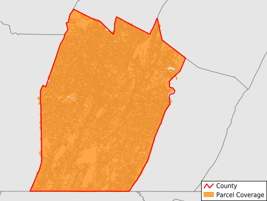
Bedford County
Parcel Data
Price: $200.00
Last Updated:
2024-Q3
Parcels in County:
34,305
Parcel data available to download as a GDB, GeoPackage, Shapefile, Excel, CSV, or Google Earth KML file.
All purchased data comes with six months of access, including any updates, at no additional cost.
Key attribute coverage for Bedford County
The percentage of Bedford County parcels containing the following key attributes:
Owner: 97.5%
Parcel Number: 100%
Acreage (Calculated): 100%
Site Address: 64%
Mailing Address: 100%
All available attributes in Bedford County
Parcel Number
Site Address
Owner
Sale Price
Land Use Code
Land Use Class
Acreage (deeded)
Acreage (calculated)
Perimeter
Municipality
School District
Zip Code
Flood Zone
Flood Zone Subtype
Census Tract
Census Block Group
Census Block
Total Market Value
Land Market Value
Mail Address1
Mail Address3
Year Built
Buildings
Place Gnis Code
Land Cover
Elevation
Owner Occupied
Robust Id
Usps Residential
Crop Cover
Acreage Adjacent With Sameowner
Municipalities Respresented in Bedford County
Pleasantville Borough: 97
West St. Clair Township: 1,045
St. Clairsville Borough: 37
Hopewell Borough: 154
West Providence Township: 2,363
Bedford Township: 3,599
Kimmel Township: 935
Bedford Borough: 1,438
Harrison Township: 809
Woodbury Township: 703
Mann Township: 699
Monroe Township: 1,229
South Woodbury Township: 1,339
Saxton Borough: 427
Pavia Township: 394
Everett Borough: 840
Lincoln Township: 281
Juniata Township: 1,020
Bloomfield Township: 605
Broad Top Township: 1,372
East Providence Township: 1,336
Cumberland Valley Township: 1,141
Hopewell Township: 1,396
Londonderry Township: 1,394
Southampton Township: 887
Woodbury Borough: 164
New Paris Borough: 89
East St. Clair Township: 1,887
Manns Choice Borough: 172
Rainsburg Borough: 82
Liberty Township: 1,058
Coaldale Borough: 81
Colerain Township: 788
Napier Township: 1,754
Snake Spring Township: 1,218
Schellsburg Borough: 172
King Township: 730
Hyndman Borough: 570
Save money when you buy data in bulk
We offer discounted pricing on county and state downloads.