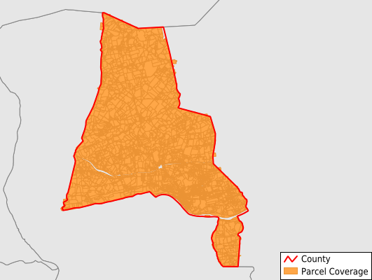
Montour County
Parcel Data
Price: $200.00
Last Updated:
2025-Q1
Parcels in County:
8,316
Parcel data available to download as a GDB, GeoPackage, Shapefile, Excel, CSV, or Google Earth KML file.
All purchased data comes with six months of access, including any updates, at no additional cost.
Key attribute coverage for Montour County
The percentage of Montour County parcels containing the following key attributes:
Owner: 98.5%
Parcel Number: 100%
Acreage (Calculated): 100%
Site Address: 98.5%
Mailing Address: 98.5%
All available attributes in Montour County
Parcel Number
Site Address
Owner
Land Use Code
Land Use Class
Zoning
Acreage (deeded)
Acreage (calculated)
Perimeter
Municipality
School District
Zip Code
Flood Zone
Flood Zone Subtype
Census Tract
Census Block Group
Census Block
Total Market Value
Land Market Value
Building Market Value
Mail Name
Mail Address1
Mail Address3
Place Gnis Code
Land Cover
Elevation
Owner Occupied
Robust Id
Usps Residential
Crop Cover
Acreage Adjacent With Sameowner
Municipalities Respresented in Montour County
Danville Borough: 2,092
Washingtonville Borough: 74
Anthony Township: 715
Cooper Township: 470
Derry Township: 433
Liberty Township: 943
Limestone Township: 431
Mahoning Township: 1,627
Mayberry Township: 177
Valley Township: 1,106
West Hemlock Township: 248
Save money when you buy data in bulk
We offer discounted pricing on county and state downloads.