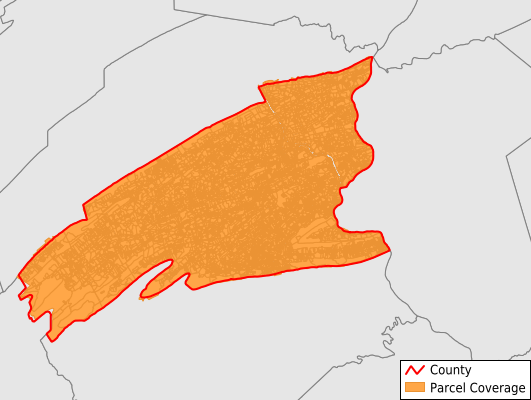
Perry County
Parcel Data
Price: $200.00
Last Updated:
2025-Q2
Parcels in County:
24,779
Parcel data available to download as a GDB, GeoPackage, Shapefile, Excel, CSV, or Google Earth KML file.
All purchased data comes with six months of access, including any updates, at no additional cost.
Key attribute coverage for Perry County
The percentage of Perry County parcels containing the following key attributes:
Owner: 99.5%
Parcel Number: 100%
Acreage (Calculated): 100%
Site Address: 98%
Mailing Address: 99.5%
All available attributes in Perry County
Parcel Number
Site Address
Owner
Transfer Date
Sale Price
Building Size
Neighborhood Code
Land Use Code
Land Use Class
Acreage (calculated)
Perimeter
Municipality
School District
Zip Code
Flood Zone
Flood Zone Subtype
Census Tract
Census Block Group
Census Block
Mail Address1
Mail Address2
Mail Address3
Year Built
Water
Sewer
Addr Sec Unit Num
Place Gnis Code
Land Cover
Elevation
Owner Occupied
Robust Id
Usps Residential
Crop Cover
Acreage Adjacent With Sameowner
Municipalities Respresented in Perry County
Blain Borough: 132
Bloomfield Borough: 475
Duncannon Borough: 587
Landisburg Borough: 93
Liverpool Borough: 417
Marysville Borough: 1,313
Millerstown Borough: 318
New Buffalo Borough: 63
Newport Borough: 583
Buffalo Township: 792
Carroll Township: 2,386
Centre Township: 1,347
Greenwood Township: 738
Howe Township: 329
Jackson Township: 515
Juniata Township: 858
Liverpool Township: 744
Miller Township: 574
Northeast Madison Township: 580
Oliver Township: 867
Penn Township: 1,707
Rye Township: 1,124
Saville Township: 1,600
Southwest Madison Township: 629
Spring Township: 1,269
Toboyne Township: 669
Tuscarora Township: 857
Tyrone Township: 1,074
Watts Township: 695
Wheatfield Township: 1,444
Save money when you buy data in bulk
We offer discounted pricing on county and state downloads.