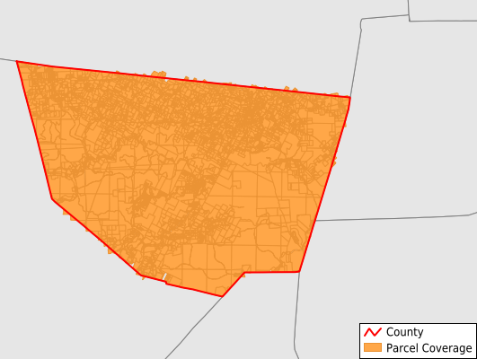
Sullivan County
Parcel Data
Price: $250.00
Last Updated:
2024-Q1
Parcels in County:
8,695
Parcel data available to download as a GDB, GeoPackage, Shapefile, Excel, CSV, or Google Earth KML file.
All purchased data comes with six months of access, including any updates, at no additional cost.
Key attribute coverage for Sullivan County
The percentage of Sullivan County parcels containing the following key attributes:
Owner: 100%
Parcel Number: 100%
Acreage (Calculated): 100%
Site Address: 99.9%
Mailing Address: 100%
All available attributes in Sullivan County
Parcel Number
Site Address
Owner
Acreage (deeded)
Acreage (calculated)
Perimeter
Municipality
School District
Zip Code
Flood Zone
Flood Zone Subtype
Census Tract
Census Block Group
Census Block
Mail Address1
Mail Address3
Legal Desc1
Legal Desc2
Legal Desc3
Addr Sec Unit Num
Place Gnis Code
Land Cover
Elevation
Owner Occupied
Robust Id
Usps Residential
Crop Cover
Acreage Adjacent With Sameowner
Municipalities Respresented in Sullivan County
Dushore Borough: 343
Eagles Mere Borough: 512
Forksville Borough: 118
Laporte Borough: 391
Cherry Township: 1,760
Colley Township: 889
Davidson Township: 838
Elkland Township: 724
Forks Township: 614
Fox Township: 838
Hillsgrove Township: 385
Laporte Township: 788
Shrewsbury Township: 495
Save money when you buy data in bulk
We offer discounted pricing on county and state downloads.