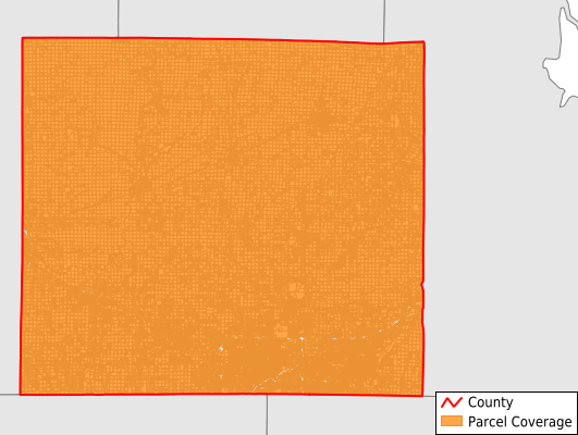
Outagamie County
Parcel Data
Price: $200.00
Last Updated:
2025-Q2
Parcels in County:
89,036
Parcel data available to download as a GDB, GeoPackage, Shapefile, Excel, CSV, or Google Earth KML file.
All purchased data comes with six months of access, including any updates, at no additional cost.
Key attribute coverage for Outagamie County
The percentage of Outagamie County parcels containing the following key attributes:
Owner: 99.1%
Parcel Number: 100%
Acreage (Calculated): 100%
Site Address: 86.6%
Mailing Address: 99.1%
All available attributes in Outagamie County
Parcel Number
Site Address
Owner
Acreage (deeded)
Acreage (calculated)
Perimeter
Municipality
School District
Zip Code
Flood Zone
Flood Zone Subtype
Census Tract
Census Block Group
Census Block
Coowner
Mail Address1
Mail Address2
Mail Address3
Legal Desc1
Buildings
Addr Sec Unit Num
Place Gnis Code
Land Cover
Elevation
Owner Occupied
Robust Id
Usps Residential
Plss Description
Plss Township
Plss Range
Plss Section
Crop Cover
Acreage Adjacent With Sameowner
Municipalities Respresented in Outagamie County
Appleton City: 24,127
Bear Creek Village: 275
Black Creek Village: 721
Black Creek Town: 1,386
Bovina Town: 1,273
Buchanan Town: 3,210
Center Town: 2,346
Cicero Town: 1,064
Combined Locks Village: 1,619
Dale Town: 2,070
Deer Creek Town: 927
Ellington Town: 2,150
Freedom Town: 3,300
Grand Chute Town: 8,682
Greenville Town: 6,045
Hortonia Town: 866
Hortonville Village: 1,526
Howard Village: 1
Kaukauna City: 6,931
Kaukauna Town: 963
Kimberly Village: 3,007
Liberty Town: 1,084
Little Chute Village: 4,237
Maine Town: 1,071
Maple Creek Town: 720
New London City: 845
Nichols Village: 237
Oneida Town: 3,156
Osborn Town: 790
Seymour City: 1,554
Seymour Town: 996
Shiocton Village: 560
Vandenbroek Town: 954
Wrightstown Village: 343
Harrison Village: 0
Save money when you buy data in bulk
We offer discounted pricing on county and state downloads.